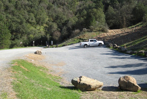
Parking at the confluence - lot is narrow and not that large. Road from Hwy 49 is down hill and gravel with a few pot holes.
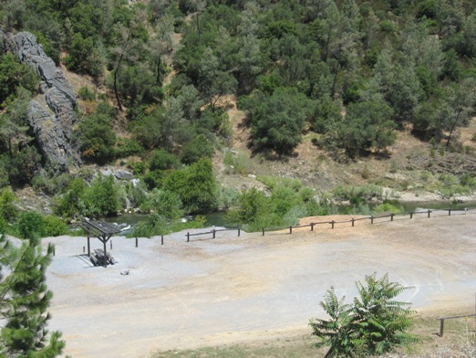
Staging area - parking lot off to the left.
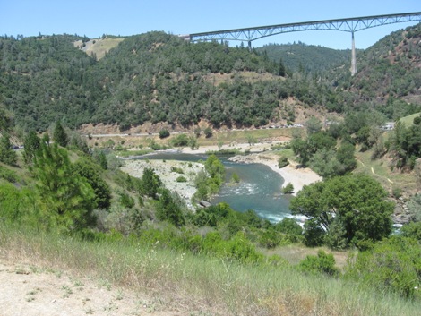
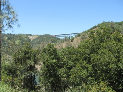
View from staging area - American River and Foresthill bridge in the back ground.
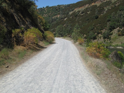
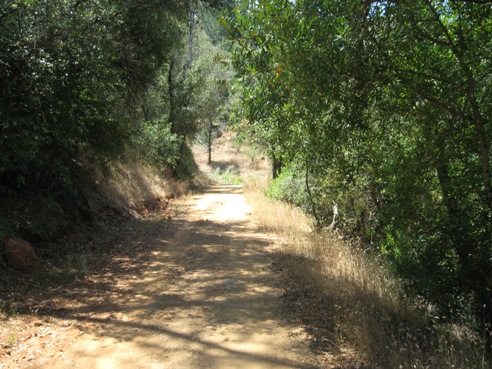
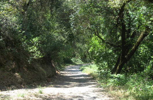
Trail head - this "road" is what the first mile or so of the trail will be like, then the trail turns to hard packed dirt.
View off the roadway into the Confluence staging area. The trail is to the right just above the river (the gray line). You can see how nice and flat the beginning of this trail is.
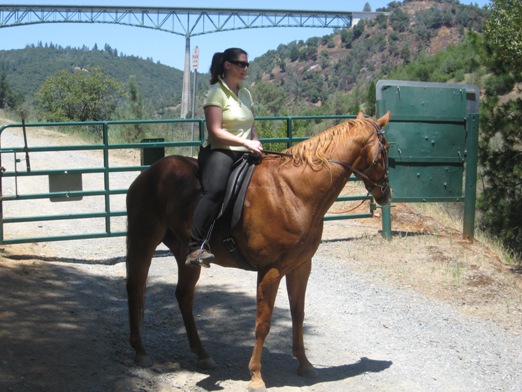
Beth on Chester on the other side of the green gate pictured above - Foresthill Bridge in the background above Beth's head
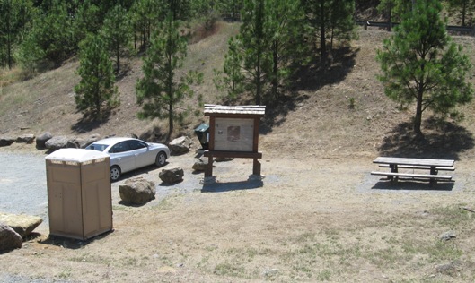
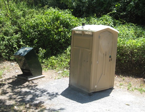
Trash container and a port a potty not too far down the trail from the staging area.
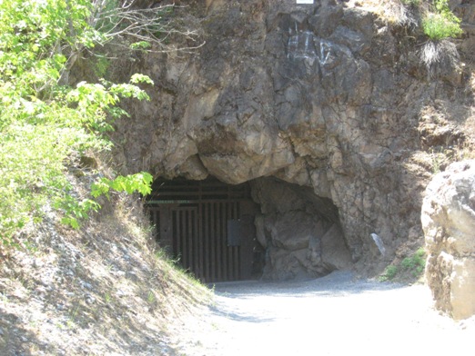
An old locked up cave seen from the trail.
Trail from the staging area. The first mile or so is very flat, wide and easy to ride, hike or bike on.
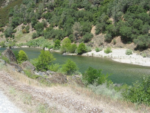
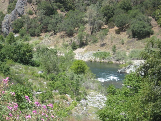
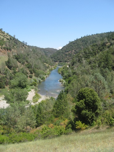
View of the river from the trail.
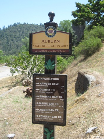
Signage near the picnic area. Trail splits here - left to picnic area and right up the hill to continue on the main trail (The Western States Trail).
Picnic area located about 1 mile from the staging area.
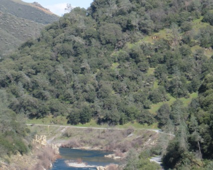
View of the Foresthill Bridge from the trail.
View from trail about 1 1/2 miles in from the staging area.
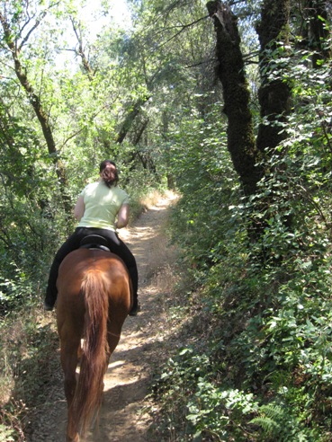
Trail a couple of miles from the staging area.
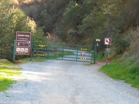
Trail gets a little narrower, a little rocky, and some shade. This trail will take you to the the Quarry Trail (first trail you can turn up on your right - about 2+ miles in) which will also take you to Cool - crossing Hwy 49 at the Quarry (be careful when crossing Hwy 49, cars do go fast)
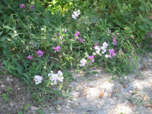
Flowers as seen from the trail in summer.
View from the trail near the confluence.
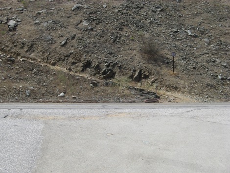
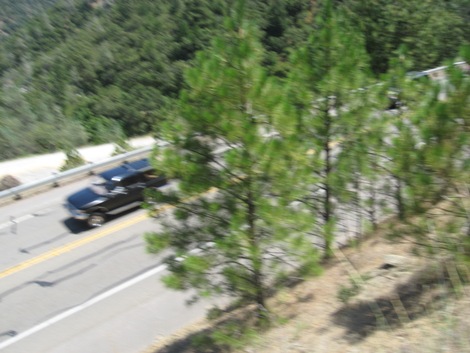
Road crossing from the staging area to trail across Hwy 49 - please be cautious as Hwy can get fairly busy. Fairly easy to see oncoming traffic. The trail does immediately go up hill and is narrow. This is the way to No Hands Bridge. Can also get to Cool by going this way.
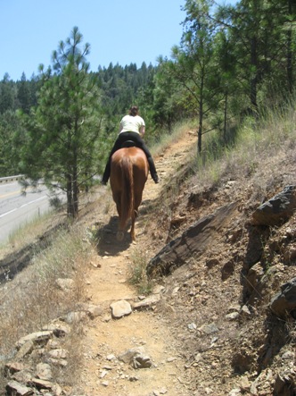
Beth on Chester going up the hill right after you cross Hwy 49 from the staging area. Trail is a somewhat steep, narrow and rocky.
View from the trail above of Hwy 49 - after you cross Hwy 49 from staging area road. Trail is fairly narrow and steep for a short period.
Beth on Chester, going up the trail after crossing Hwy 49 at the confluence.
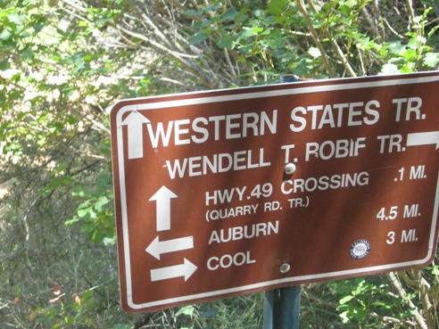
Signage after you cross Hwy 49 and go up the hill. At this intersection you can either go towards Cool or No Hands Bridge.
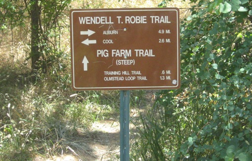
More signage farther up the trail on the way to Cool. Training Hill is VERY steep as is Pig Farm. Make sure your horse is in shape if you choose to do either of those trails.